Bike The Bridge
We are actively working on a NEW Cycle Tourism Map – to be released in Spring 2026 when the Gordie Howe International Bridge Opens. Download a copy of our current Cycle Tourism Map and start planning your route or pick up a print copy at any of our Visitor Information Centre’s. To explore more cycling partners in Windsor Essex, please click here.
VIEW OUR CURRENT CYCLE TOURISM MAP
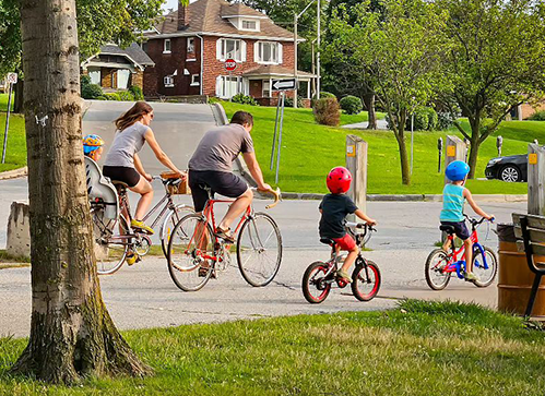
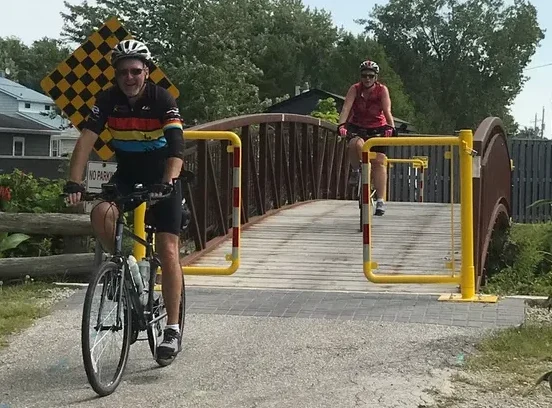
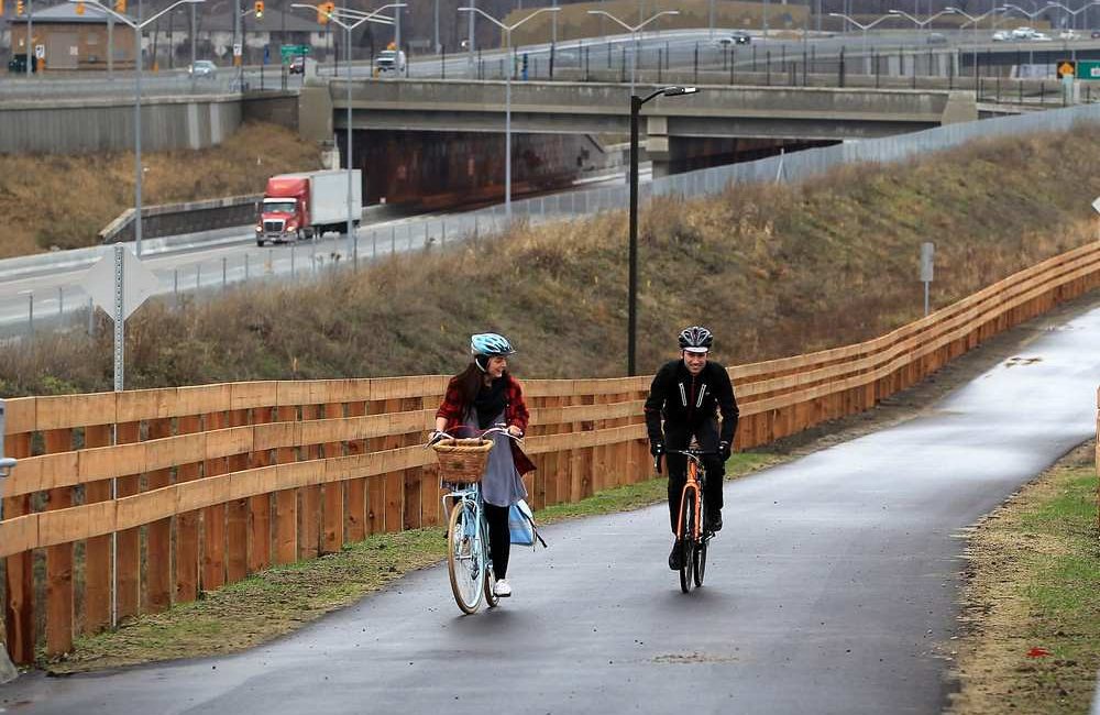
For cyclists and walkers, the Gordie Howe International Bridge is a game-changer as the first international crossing to be part of the Trans-Canada Trail. A dedicated multi-use path will connect to local cycling routes on both sides of the border, unlocking new cross-border adventures and making Windsor Essex a true hub for international cycle tourism. And access to the multi-use path is FREE! Whether you’re riding, strolling, or simply taking in the views, the Gordie Howe International Bridge offers a bold new way to experience the region—one that quite literally brings two countries closer together.
A few facts about the Gordie Howe International Bridge
- The bridge is a 2.5km long cable stay bridge
- Each tower holding the bridge is 220m tall
- For cyclists and pedestrians, separate Inspections plazas at both Ports of Entry, keeping users away from vehicular traffic
About the Multi-Use Path
- Free for all cyclists, walkers and runners.
- Separate customs plaza from vehicular traffic
- The path is 2.5km/1.5 miles in length with a 5% grade
- Total length of travel on the path including customs plazas is 3km or 1.8 miles one-way
- Anticipate a 20 minute crossing by bike or 45 minutes by foot. Border processing times are not included in these estimates and may add to the total length of time.
- Total distance trailhead to trailhead is 7.1km/4.9 miles
Documentation
You need at least one of the below to cross by bike, be vehicle or by foot.
- Valid passport
- NEXUS card or FAST card
- Children 15 and under need a birth certificate or passport
- Valid passport
- Passport card
- NEXUS card or FAST card
- Enhanced driver’s licenses
(MI, MN, NY, VT and WA residents) - Children 16 and under need a birth certificate, U.S. citizen identification card or passport
- Valid passport, and in many cases a U.S. visa
For border wait times and real time documentation information head to crossingmadeeasy.com.
Be one of the first people to get a print copy of our Cycle Tourism Map when it is released.
REQUEST YOUR PRINT COPY NOW
Once released, we will mail you a complimentary copy of our Cycle Tourism Map to plan your next two-wheeled adventure in Windsor Essex. With the new Multi-Use Path on the Gordie Howe International Bridge, our Cycle Tourism Map will be a key asset connecting you to trails across Windsor Essex AND Detroit, Michigan. The map will feature 150+ Bike Friendly Certified stops – businesses and attractions ready to welcome you with open arms!
Our new map will also featured recommended Ride With GPS routes to make your next cycle adventure easy – making this available in print and digital format.
The map will be released in Spring 2026 – and you will receive a confirmation email when your map has been mailed, plus a link to the new digital edition of the trails.
Funding provided by the Detroit Windsor Bridge Authority and the Federal Economic Development Agency for Southern Ontario.
FAQs
A: The path is 2.5km/1.5 miles in length with a 5% grade. Total length of travel on the path including customs plazas is 3km or 1.8 miles one-way. Total distance trailhead to trailhead is 7.1km/4.9 miles.
Anticipate a 20 minute crossing by bike or 45 minutes by foot. Border processing times are not included in these estimates and may add to the total length of time.
A: Anticipate a 20 minute crossing by bike or 45 minutes by foot. Border processing times are not included in these estimates and may add to the total length of time. When using the multi-use path, users must travel the entire span of the bridge and clear customs before returning
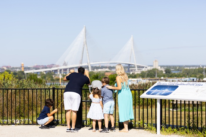
A: In Canada, the path connects you to the Malden Park Trailhead via the Broadway St. Multi-Use Path, Windsor Riverfront Trail, LaSalle Parkway Trail, Trans Canada Trail and Great Lakes Waterfront Trail.
In the U.S., the path connects you to the Clark Park Trailhead, Joe Louis Greenway, Detroit Riverwalk, Iron Belle Trail and Great Lakes Way.
View the Routes

Click the link below to access all these routes on Ride With GPS.


View the Whole Map


